
 Tweet
Tweet
Ladies/Gents,
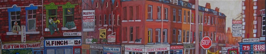
Can anyone shine any light on this for me. Its taken from a Christening certificate, which took place in 1857 at St Matthias Church, Benthal Green, (I know he was born in Spitalfields). It appears to me to say White Street, but I cannot find any record of a White Street, in either Spitalfields or Bethnal Green. Does anyone have any idea where White Street was? I also know that in 1861/71 the family were living on Sheppard Street & Tenter Street, which were very near to White's Row Spitalfields. I've found a map of 1885 Spitalfields which has White's Row on it, could it be that in 1857 White's Row was called White Street?
Can anyone shine any light on this for me. Its taken from a Christening certificate, which took place in 1857 at St Matthias Church, Benthal Green, (I know he was born in Spitalfields). It appears to me to say White Street, but I cannot find any record of a White Street, in either Spitalfields or Bethnal Green. Does anyone have any idea where White Street was? I also know that in 1861/71 the family were living on Sheppard Street & Tenter Street, which were very near to White's Row Spitalfields. I've found a map of 1885 Spitalfields which has White's Row on it, could it be that in 1857 White's Row was called White Street?
Attached Files

Comment